|
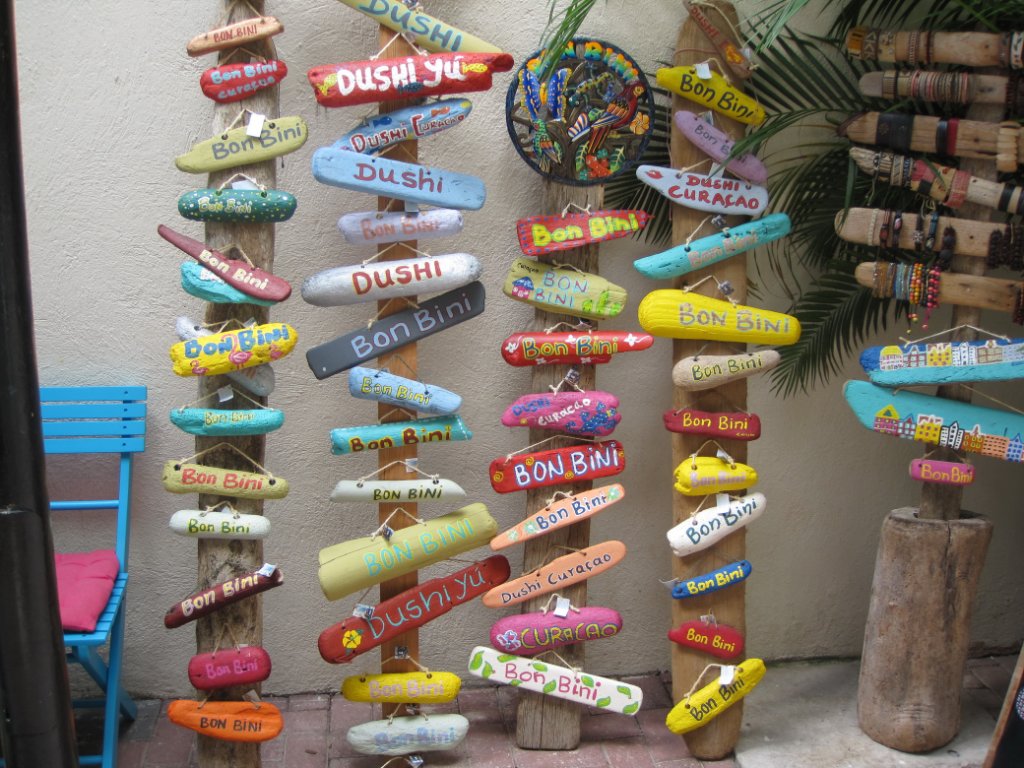 |
| A shop near the Da Costa Gomezplein | |
| Latitude: N 12°6'18,54" | Longitude: W 68°55'59,98" | Altitude: 8 metres | Location: Willemstad | Country: Curaçao | See map | |
| Total images: 77 | Help | |
|
|
|
| A shop near the Da Costa Gomezplein | |
| Latitude: N 12°6'18,54" | Longitude: W 68°55'59,98" | Altitude: 8 metres | Location: Willemstad | Country: Curaçao | See map | |
| Total images: 77 | Help | |